
Cleveland Heights ZIP Code Coverage
The City Council material identifies four address ZIP codes for Cleveland Heights: 44106, 44112, 44118, and 44121. That list is a useful starting point, not a parcel map. Postal routes cross the city interfaces with Cleveland, East Cleveland, South Euclid, University Heights, and Shaker Heights. Use the code to frame a search, then verify the actual delivery address before treating it as a Cleveland Heights location. The City packet establishes the four-code set, while the county parcel record and USPS result answer the address-specific question.
| ZIP | Areas Covered | Post Office | Notes |
|---|---|---|---|
| 44118 | Core Cleveland Heights delivery geography, including the Severance Circle civic area | Cleveland Heights Post Office | Primary verified local facility; ZIP and city lines are not the same. |
| 44106 | Cedar and University Circle-side interface | Verify with USPS By Address | A MyPlace Cleveland Heights parcel example uses this ZIP; it is not citywide proof. |
| 44121 | Northern and eastern Cleveland Heights, South Euclid interface | USPS verification; South Euclid facility serves shared geography | Confirm each address because the delivery area crosses municipal context. |
| 44112 | East Cleveland interface affecting eastern and northeastern delivery geography | USPS By Address or East Cleveland service area | City material includes it, but no fixed parcel-level boundary was located. |
The City Council packet supports the four ZIP codes, but it does not draw their exact postal boundaries. That gap is important. A postal reference should not turn a delivery generalization into a claim about every address, household, or city block.
Verify Cleveland Heights Postal Addresses
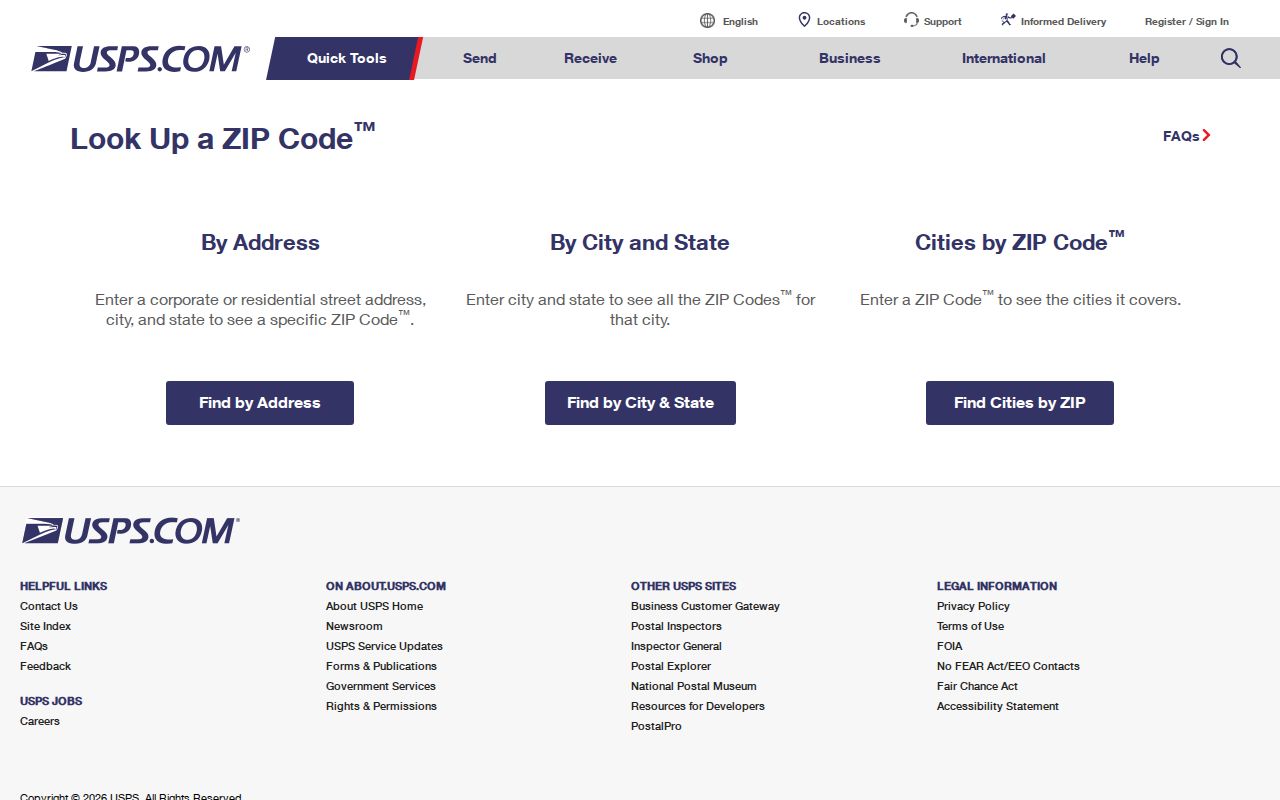
USPS is the authoritative check for delivery addressing. Its live lookup accepts an address with city and state, a city and state search, or a ZIP search. The result helps confirm the postal code assigned to a specific address, but USPS cautions that a ZIP result does not confirm that a person or organization is located there. For Cleveland Heights ZIP code work, use it before copying a code from an old document, a map label, or a parcel screen.
| Search path | What to enter | Best use |
|---|---|---|
| By address | Street address with city and state | Confirm a particular Cleveland Heights delivery address. |
| By city and state | Cleveland Heights and Ohio | Check the postal codes associated with the city name. |
| By ZIP | Five-digit delivery code | Review USPS postal information without assuming a municipal boundary. |
The USPS ZIP Code Lookup shows the official verification routes used for a Cleveland Heights postal address.
A postal result is a delivery check. It does not replace a Cuyahoga County parcel record, a deed image, or a dated historical source.
Note: Preserve the date of a USPS check because delivery labels and local address information can change over time.
Cleveland Heights Postal Anchor
The Cleveland Heights Post Office is at 3 Severance Circle, Cleveland Heights, OH 44118-9998, and its USPS location page lists its telephone number and retail and carrier hours. This makes 44118 the clearest local postal anchor in the research. It does not make every Cleveland Heights address a 44118 address. The other three documented postal codes remain part of the city’s delivery geography and require the same address-level verification.
The USPS location record for the Cleveland Heights Post Office identifies the facility associated with 44118.
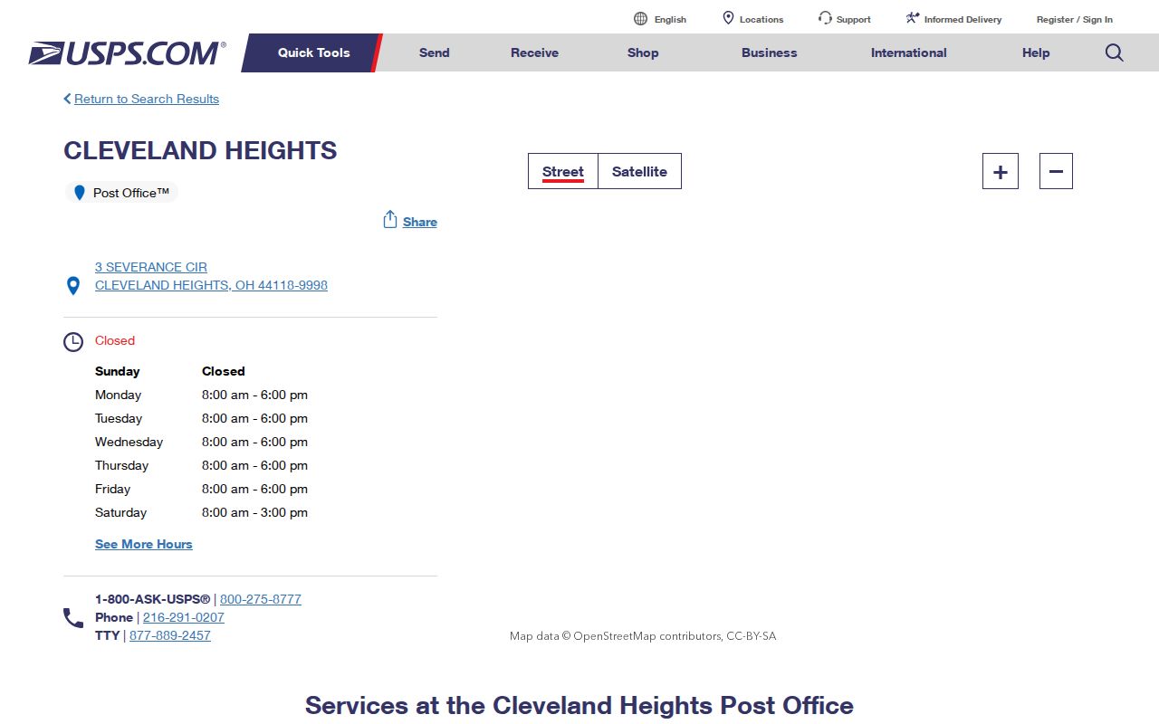
The location record is useful for postal service details, while the ZIP lookup remains the better tool for confirming a separate street address.
Cleveland Heights ZIP Search Limits
Few official record systems are designed as broad ZIP resident lists. Cuyahoga County MyPlace starts with City, then Owner, Parcel, or Address. Cleveland Heights is available in the City selector, but the inspected first screen has no ZIP search mode. A selected property displays an address that includes ZIP information and can support address downloads, yet that differs from a citywide search by ZIP.
The Recorder’s advanced search offers property address, parcel ID, legal-description, party, and date tools. The documented criteria did not show a ZIP filter. Ohio’s ODRC Offender Search has a ZIP Code field, but that field is limited to APA-supervision or Violators-at-Large records and may show only a last recorded address. It is not a way to identify current Cleveland Heights residents. The practical order is USPS for the postal code, MyPlace for the parcel, and Recorded Document Search for the instrument trail.
Search a Cleveland Heights ZIP
A ZIP can narrow an address question without becoming the search key for every record. Work from the actual address and capture each identifier as it appears. That approach keeps the postal reference useful for records research without implying that a delivery code is a directory of everyone who receives mail there.
- Confirm the street address and ZIP in the USPS lookup, saving the result date.
- Open MyPlace, choose Cleveland Heights in the City field, select Address, and locate the parcel.
- Record the permanent parcel number, situs address, mailing address field, and legal description from the parcel details.
- Use the parcel, address, legal description, or party name in the Recorded Document Search when a transfer or deed question remains.
- For a full address-by-address sequence after the ZIP is narrowed, use the Cleveland Heights street directory.
MyPlace also opens a parcel map through View Map. That map can help place a verified parcel near a city edge, but county GIS materials describe the viewer as reference mapping rather than an official survey.
Cleveland Heights Parcel Keys
Three address strings can point to different things. A situs address is the physical location of the parcel. A mailing address is where tax correspondence goes. A legal description identifies the lot, subdivision, condominium, or other parcel language used in land records. The permanent parcel ID links those fields across MyPlace, transfers, tax history, maps, and recorded documents. Keep all four on a Cleveland Heights research note.
- ZIP
- A USPS delivery code used to sort mail. It is not a municipal boundary or a resident record.
- ZIP+4
- The five-digit ZIP plus four added digits that refine delivery sorting for a smaller group of addresses.
- PO-box ZIP
- A ZIP used for post-office box delivery. It may not describe the physical location of a parcel.
- Unique ZIP
- A ZIP associated with one organization or firm. It should not be assumed to represent a neighborhood.
- Carrier route
- A USPS delivery sequence within a postal area, not a city or ownership boundary.
Cleveland Heights ZIP Record Roles
Each Cleveland Heights postal source has a narrow job. USPS confirms delivery addressing. MyPlace attaches an address to a city-selected parcel and its permanent parcel number. The Recorder connects a parcel, legal description, address, or party to an instrument. Older criss-cross directories connect a printed address to a listed occupant for a particular year. None of those sources should be used as a substitute for another. A ZIP label does not establish parcel ownership, and a parcel owner field does not establish every person at the property.
The county’s property research guidance recommends beginning with a street address, parcel number, or both. Those identifiers can come from a deed, tax bill, or reappraisal notice. For a Cleveland Heights address with a project history, the Building Department is the address-keyed route for permit and inspection material. A City public-records request through the Law Department is the documented fallback when a needed city record is not published online.
For older research, County Archives supplies the historical path: tax records, original map volumes, appraisal cards, and city directories. Its property research is appointment-based, with reference help and email or mail request channels. Keep the ZIP as a current delivery fact, then use the parcel ID and legal description to join sources across time.
Cleveland Heights ZIP Boundary Mismatches
ZIP boundaries and Cleveland Heights city limits answer different questions. USPS designs delivery geography, while the City and Cuyahoga County record municipal and parcel geography. That is why 44106, 44112, and 44121 should be treated as interface areas rather than labels for a single city. Neighborhood names such as Coventry, Noble, or Roxboro can help a researcher orient a map or historical search, but they are not ZIP boundaries either.
The City’s Cleveland Heights at-a-glance material provides local geographic context for this postal reference.
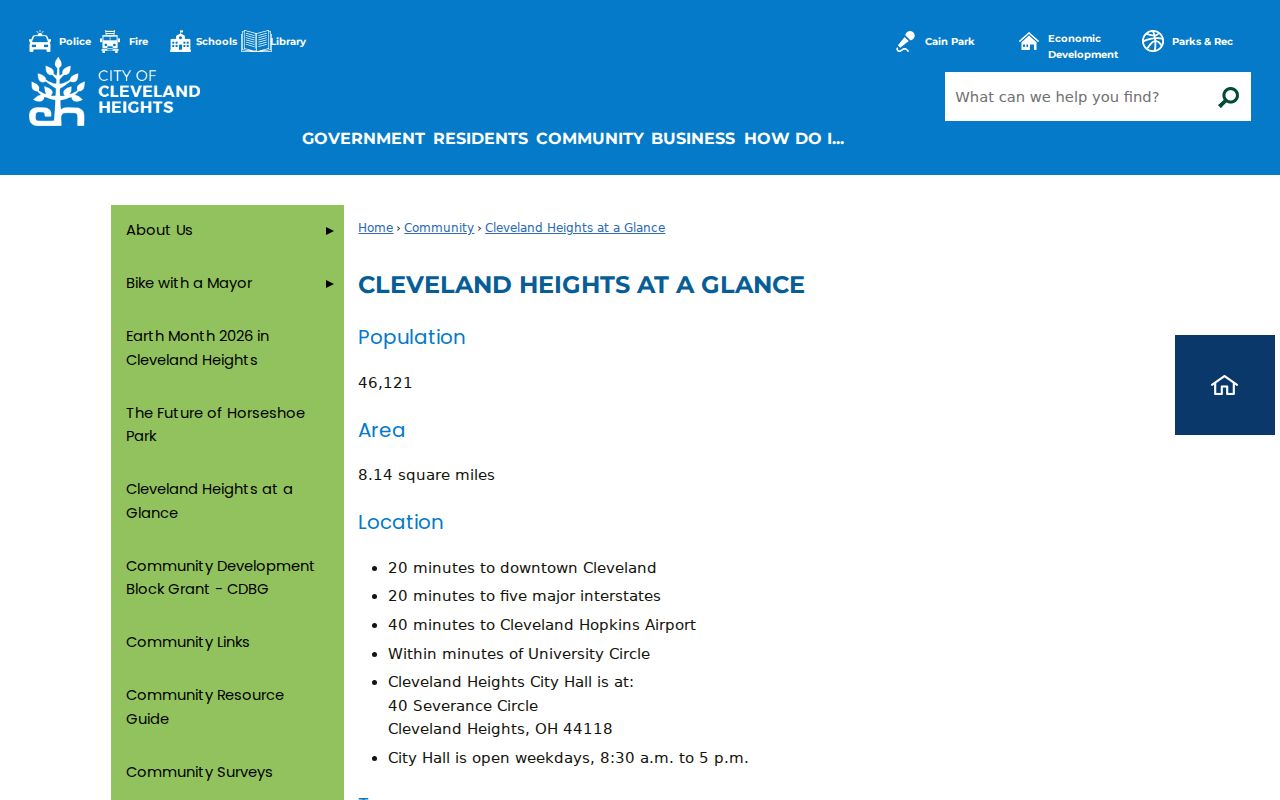
Use the City filter, parcel map, and USPS result together when a delivery label and a city boundary appear to conflict.
Cleveland Heights Postal History
Historic address research needs more than a modern postal code. County Archives warns that street names, dimensions, and property descriptions can change. Cleveland Heights historical material also describes four-digit address numbering in many areas, a Cedar exception, and municipal-boundary discontinuities. Preserve the old street form, parcel number, legal description, and the date printed on a directory or map. These details bridge the gap between an older address and its modern delivery label.
For an older occupant trail, criss-cross directories, period plats, map volumes, tax records, and building cards can be more useful than a current ZIP search. The Archives holds original map volumes from about 1860 to 1945, while its historic tax records span about 1819 to 1986. Those dated sources explain the property before a current postal label existed.
Note: Record both the historic address form and the modern verified address before combining results from different decades.