
Cleveland Heights Neighbors: Block Sources
Public records can describe a Cleveland Heights block without producing a complete personal directory. MyPlace and its map show parcels and property-owner fields. Recorded documents identify parties to a transfer. City permit files can show a project and the role recorded on an application. State voter search begins with a name, not a block address. Street clubs and local organizations offer voluntary contact and participation routes, but the City does not publish member rosters. Historical directories are evidence from a dated volume, not a statement about a current household.
| Source | What It Shows About a Block | Access |
|---|---|---|
| MyPlace map and parcel records | Parcel adjacency, owner field, situs, transfer and property details | Select a parcel, then choose View Map and open nearby parcels |
| Recorded Document Search | Recorded ownership and transfer relationships, legal descriptions, dates and parties | Parcel, legal, address, name, document-type or date search |
| Cleveland Heights permit records | Work at an address and recorded owner, agent, contractor, or applicant role | Building counter or tailored public-records request |
| Ohio voter records | Permitted registration fields for a named voter | State lookup or lawful Board of Elections record route |
| Street clubs and community groups | Public participation and contact path | City Community Relations and organization contact pages |
| Historical directories | Published address listing from a particular volume | Library or County Archives collection |
Keep the source, parcel or address, record date, person role, legal description, and custodian link together. That small record log makes clear whether a name is an owner, grantor, grantee, permit applicant, or historically listed occupant.
Cleveland Heights Neighbors on Parcel Maps
Cuyahoga County MyPlace is the first official stop for Cleveland Heights neighbors research around one known address. Select Cleveland Heights in the City menu, choose Address, locate the parcel, and save its parcel ID and legal description. Then use View Map to see the target outline and adjoining parcels. County layers include municipalities, point parcels, air parcels, rights-of-way, platted centerlines, and parcels. Open each nearby parcel separately rather than treating an owner-name search as a map of all nearby addresses.
MyPlace separates a property’s situs from the owner mailing field. The first is the land’s physical location. The second is where assessment correspondence is sent. Neither one identifies every person connected with the address. County real-property information is also subject to the County’s online-data caveat, so an official record should be confirmed with the custodian when it matters.
Cleveland Heights GIS Parcel Buffer
The City’s Zoning App supplies address, owner, and parcel-PIN searches, with selected-parcel attributes that include owner, transfer, situs, ZIP, and mailing fields. Its public-notification workflow has selection geometry and a default 300-foot buffer with CSV or PDF output. That setting supports a parcel and mailer task. It does not establish a property line, because the City says only a survey does that, and it does not identify current members of a household.
Use the GIS result as a geometry step: select the known parcel, inspect nearby parcel geometry, label any mailing field as such, then cross-check a historical ownership question in the Recorder. The County interface verified parcel viewing and map layers, but the captured source did not expose a general public radius tool there. These limits matter when identifying Cleveland Heights neighbors from nearby parcels.
Cleveland Heights Block Owner Checks
A parcel card can lead to a recorded ownership check. In Cuyahoga Recorded Document Search, use the parcel ID, property address, legal description, party name, or date criteria. The detail record may show document number, pages, recorded and received dates, consideration, book or volume and page, instrument date, parties, marginal references, parcel ID, property address, and legal-description fields. The county describes its recorded documents as reaching from 1810 to the present.
Read party roles precisely. A grantee receives an interest in an instrument, while a grantor conveys one. Neither role is a current-residence finding. For older ownership questions, look for the prior owner as a grantee on an earlier acquisition and keep the same legal description attached to the trail. Trusts, estates, transfers on death, sheriff’s deeds, and corrective instruments can change the ordinary pattern.
Cleveland Heights Neighborhood Contact Routes
Community organizations are a way to learn about voluntary activity and public contact channels, not a source for a private roster of Cleveland Heights neighbors. City Community Relations identifies Boulevard, Caledonia, Canterbury, Coventry, Fairfax, Milikin, Noble, Oxford, and Roxboro as neighborhood areas. It coordinates neighborhood and street meetings and the formation of block clubs. The City contact is comrel@clevelandheights.gov at City Hall.
| Organization or route | What the source supports | Contact or access boundary |
|---|---|---|
| City Community Relations | Neighborhood and street-meeting coordination across the nine named areas | Email comrel@clevelandheights.gov; no City membership directory found |
| City street clubs | Information for organizing a voluntary street club or taking part in activities | Street-specific and individually organized; no roster published |
| Forest Hill Homeowners Association and Noble Neighbors | City-linked local community contacts | Use the organization’s own current contact policy, not a presumed member list |
| FutureHeights and Heights Community Congress | Public civic and community-engagement contacts | Organization contact information, not resident-roll evidence |
| Heights Libraries and Historical Society | Local history and neighborhood context | Collection and research contacts, not current-address verification |
The City Community Links page identifies the City-linked civic, historical, library, and community organizations.
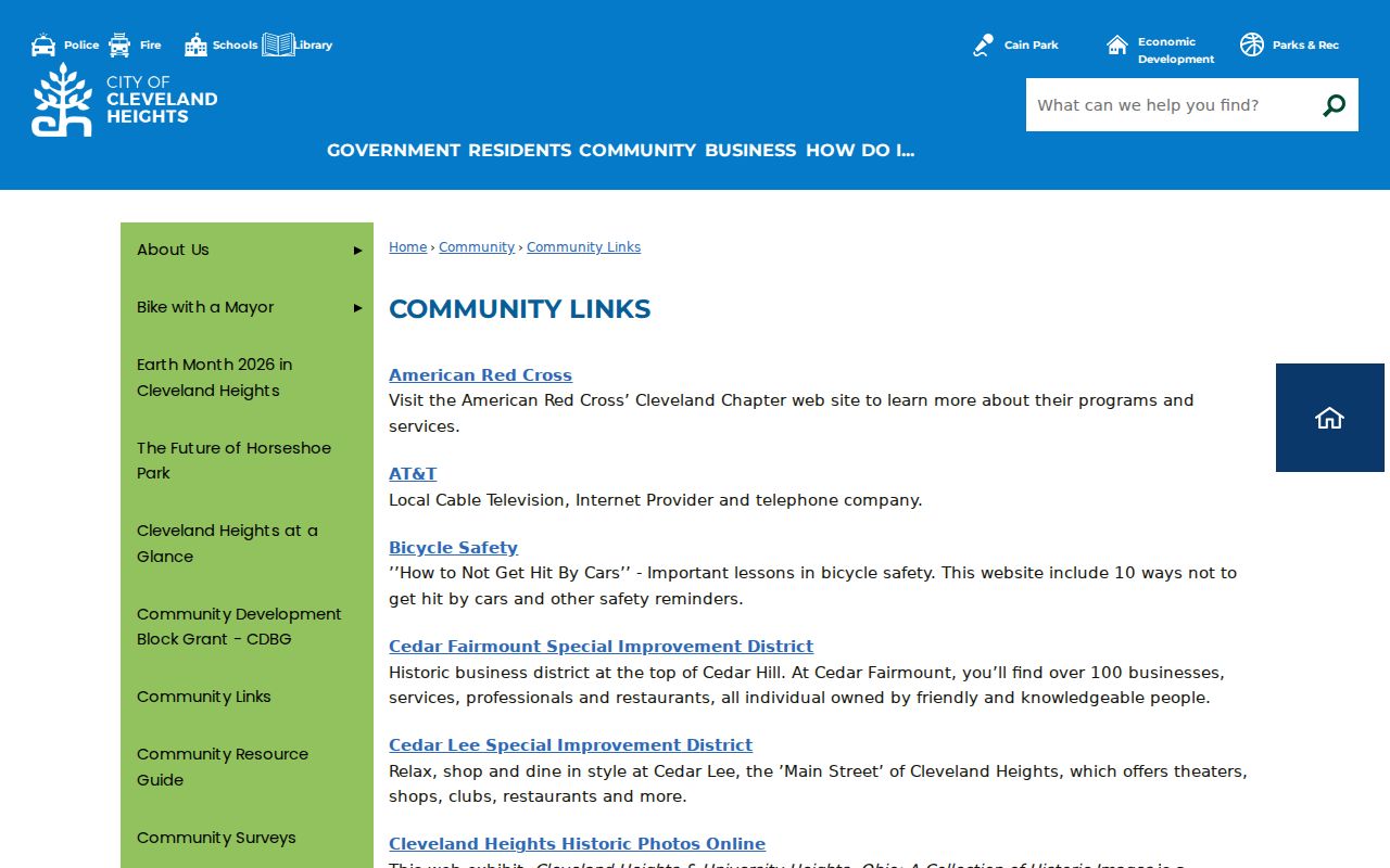
The City page links civic, historical, library, business-district, and community organizations. It does not represent any of them as a public source for a full block list.
Cleveland Heights Street Clubs Since 1917
Cleveland Heights has a documented street-club history reaching to 1917. The City describes clubs as voluntary, street-specific groups that may host block parties, dinners, parades, and street meetings. Every street has its own character, and associations are individually organized. That makes street clubs a better route for consent-based participation than for identifying people from a nearby address.
The City street-clubs page sets out the local voluntary-club route.
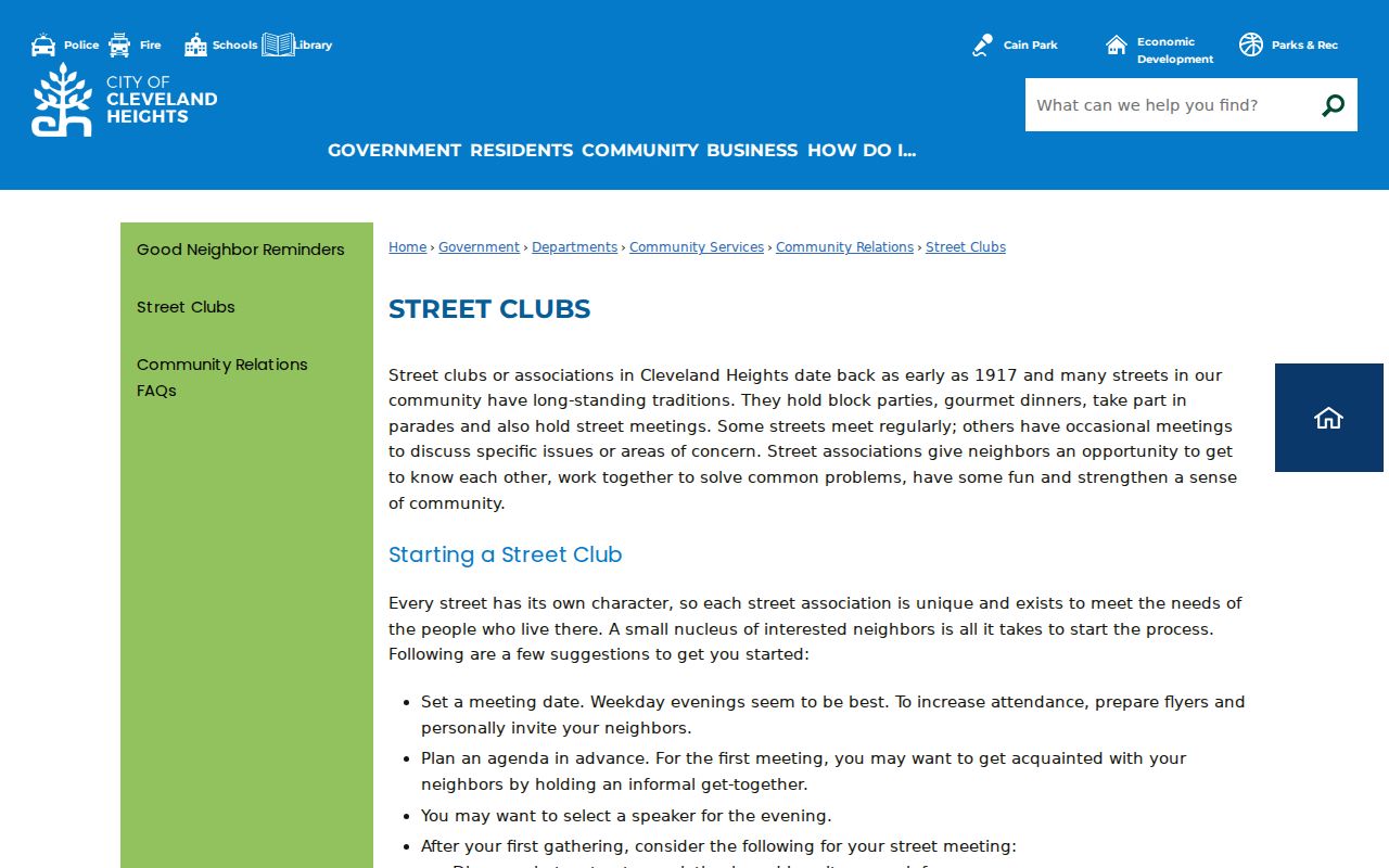
Residents may use the City’s process to form a club around a street. The source offers organization guidance, not an official public membership list.
FutureHeights also maintains a non-exhaustive inventory of known neighborhood groups, including Boulevard Neighbors, Cain Park, Coventry Neighbors, East Fairfax, Forest Hill, Grant Deming, Millikin, Noble Neighbors, and Potter Village. The inventory allows additions and should be treated as a public contact lead rather than a government registry.
The FutureHeights neighborhood-organizations inventory is a public contact lead for known groups.
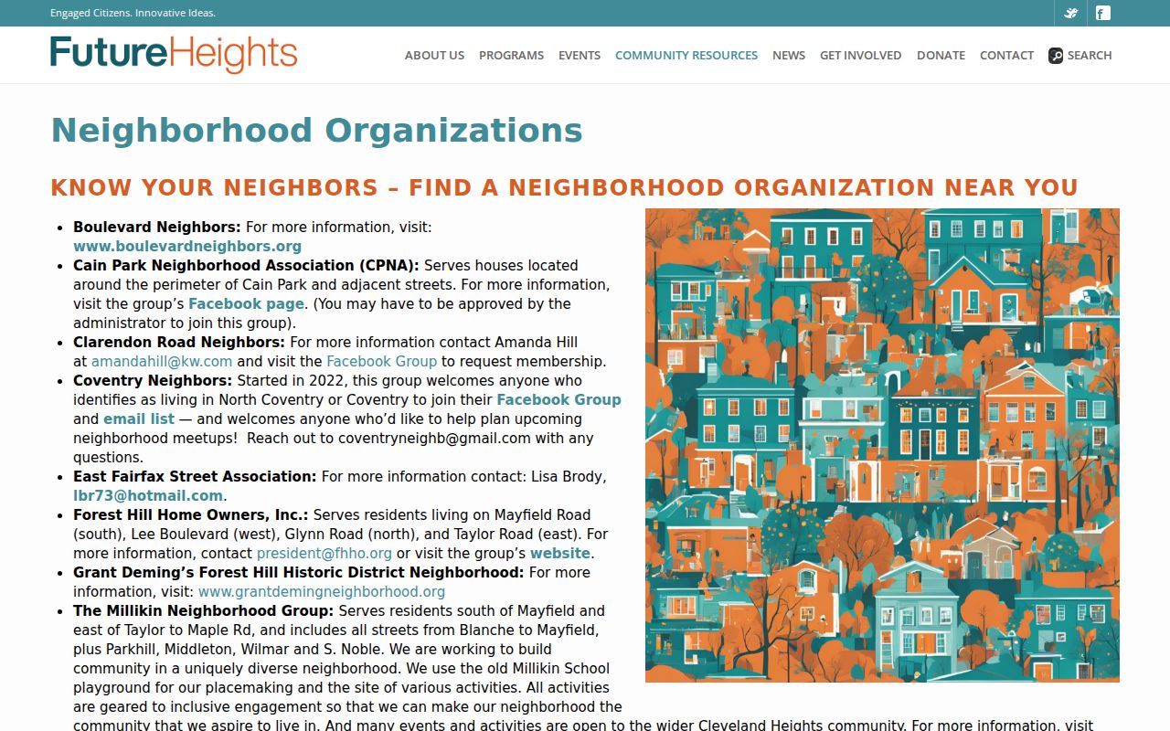
Use only the public contact details that an organization chooses to post. A public organization listing does not establish who belongs to it or who lives at a particular parcel.
Cleveland Heights Voter Records by Name
Ohio’s My Voter Information tool requires first name, last name, and county. Select Cuyahoga after entering a name. The tool can verify registration and help with precinct and polling-place information. It is not an initial address-only or block-browse form. Once a person is selected or narrowed, the page may ask for a street name. The state advises trying a derivative first name, a former surname, or a previous address in another Ohio county when a search fails.
ORC 3503.13 and ORC 3503.153 define the public-record and online-disclosure limits. Telephone, email, ID information, confidential voter records, and other protected fields are excluded. Safe at Home participants can have confidential registration. The Board of Elections Maps and Data hub identifies Cleveland Heights data routes, but a city file must be handled through the lawful official channel and never copied into a block listing.
The Cuyahoga County Board of Elections Maps and Data hub provides the official Cleveland Heights data route.
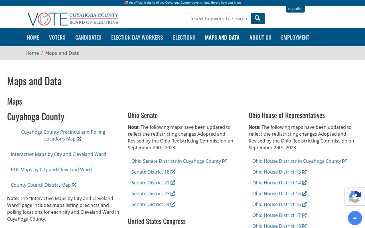
The Board’s data and election materials are separate from an address-only neighborhood directory. Current status, corrections, protected status, and record dates all matter.
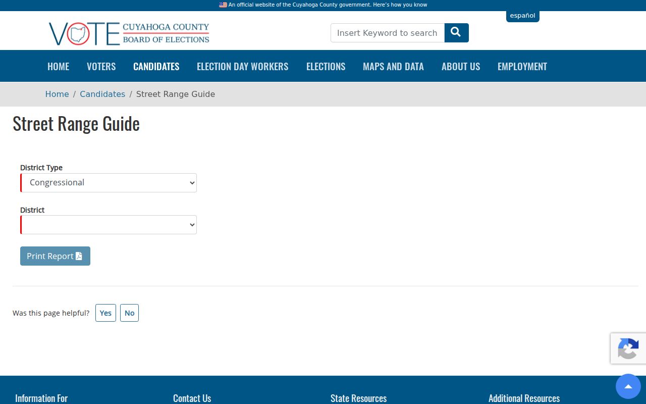
The Board’s Street Range Guide is an election-geography tool. It uses district type, a dependent district, and a printable report. It can help understand election boundaries without becoming a personal-address directory.
For a historical approach, County Archives holds Board of Elections Lists of Electors from 1893 to 1982. Record the year and jurisdiction when using a historic election source.
Official and Commercial Neighbor Tools
Different tools answer different questions about Cleveland Heights neighbors. The most reliable choice depends on whether the task is parcel context, recorded ownership history, a named registration check, or voluntary civic contact. Commercial directory services are not the custodian for the public records they may summarize. Their displays can be incomplete, stale, or hard to correct. Check the actual office when a record needs confirmation.
| Category | Best-supported use | What it cannot establish alone |
|---|---|---|
| Official parcel and map records | Parcel geometry, property fields, and a route to connected documents | Every household member or a surveyed property line |
| Official recorded documents | Recorded party roles, transfer dates, legal descriptions, and instrument details | That a recorded party currently lives at the property |
| Official voter and civic channels | Permitted named-person registration information or public organization contact | A public block roster or protected-address information |
| Commercial directory category | A possible lead that still needs checking with the custodian | Authority over official corrections, complete coverage, or a current block record |
When an official record appears wrong, contact its custodian. A removal request to a commercial directory category does not change an accurate government record that the law requires an office to maintain.
Mapping a Cleveland Heights Block
A small, documented process avoids turning a parcel map into speculation about Cleveland Heights neighbors. Start at one verified address and keep the source role attached to each result. For a long named-street chain, the address-by-address approach belongs in the Cleveland Heights street directory record path.
- Find the known address in MyPlace or the City GIS, then save the target parcel ID, situs address, and legal description.
- Open View Map or the City GIS selection, then identify the parcel outlines to each side and across the street.
- Open each nearby parcel individually and record its owner field and any separate mailing field exactly as labeled.
- For ownership history, search the parcel or legal description in Recorded Document Search and distinguish grantor from grantee.
- Use an organization contact route only for voluntary civic participation, and use a dated directory volume only for historical address context.
This flow is address to parcel, parcel to surrounding geometry, parcel field to recorded ownership role, then historical or civic context when it fits. It does not create a current personal roster.
Note: A parcel adjacent on a map is a land relationship, not proof that the property has the same social or household connection as the target address.
Cleveland Heights Neighbor Privacy Limits
Nearby property records do not disclose private utility, delivery, school, health, or complete household information. Voter records have statutory exclusions. Court, police, and vital material follow separate access rules. A historical directory entry remains a publication-period finding. The absence of a result can reflect an update, an omission, or an appropriate legal protection.
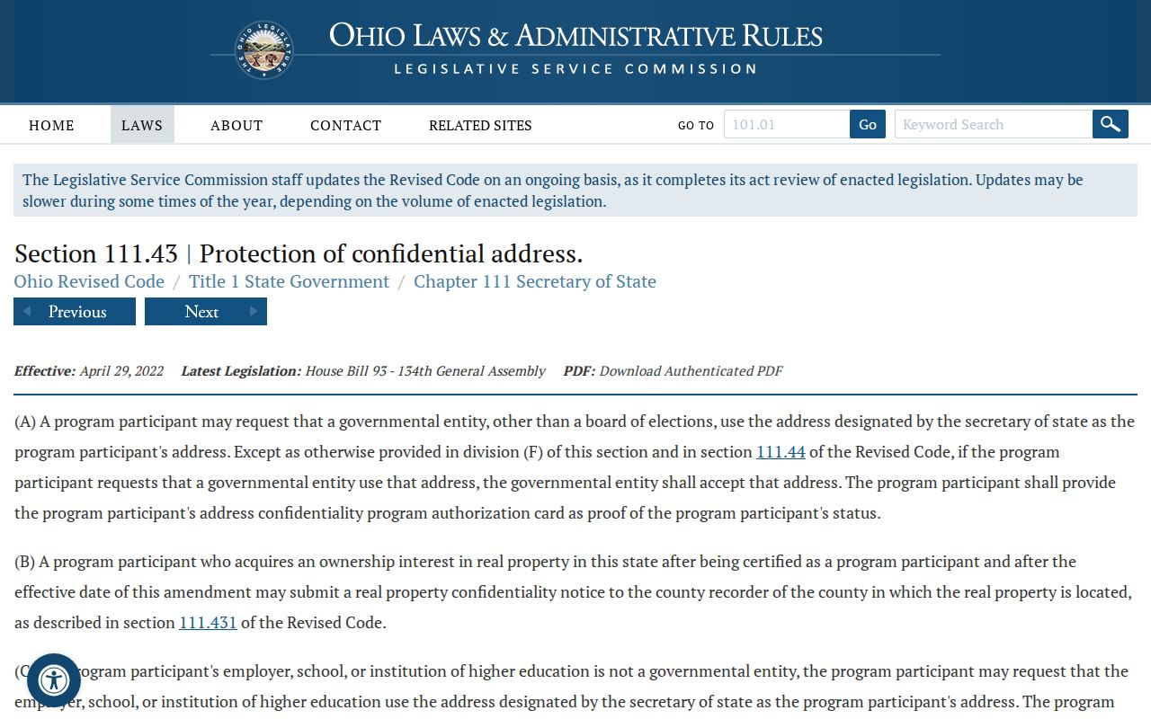
Ohio Safe at Home protections can keep a qualifying participant’s designated address and voter information out of public-facing records. ORC 111.43 permits a real-property confidentiality notice in qualifying circumstances, while ORC 111.44 provides confidential voter registration. Ohio’s Public Records Act also protects Safe at Home information and other protected residential or familial details.
The Ohio Safe at Home property-protection statute sets out the designated-address and real-property confidentiality provisions.
Respecting a protected or missing address is part of accurate local-record research. For immediate safety risk, use local law enforcement or emergency services rather than ordinary address-search channels.
Lawful use. Cleveland Heights neighbor research is limited to personal, lawful purposes such as family history, civic participation, property curiosity, and safety awareness. Do not use records to monitor, stalk, harass, intimidate, or harm anyone.