
Cleveland Heights Street Directory Steps
Use the street directory as an address-led investigation, not as a current household roster. Cuyahoga County’s MyPlace gives the first durable identifier: the parcel number. Its property card ties a physical address to an owner field, legal description, transfer panel, tax panel, permits, and a map. The recorded-document index then connects that parcel or legal description to deed parties. Ohio’s voter tool can verify a named person in Cuyahoga County, but its public form does not begin with a street browse. Historic criss-cross volumes can supply a publication-date entry for an address, rather than a claim about the present.
- Open Cuyahoga County MyPlace, choose Cleveland Heights and Address, then select the matching parcel.
- Save the parcel number, situs address, legal description, owner field, transfer details, and the date you checked the record.
- Use View Map to inspect the parcel’s position and adjacent parcel outlines, one property at a time.
- Follow the transfer or document link to Recorded Document Search, then search the parcel, address, legal description, or recorded parties.
- For a historical listed occupant, check a dated criss-cross or city-directory volume through the library or County Archives, and label the result by its publication year.
That sequence keeps the Cleveland Heights street directory focused on what each record actually establishes. Parcel ownership, recorded parties, and a directory listing are different kinds of evidence.
Cleveland Heights MyPlace Street Search
MyPlace is the county’s practical starting point for a Cleveland Heights street directory search. The form can be narrowed to the city before an owner, parcel, or address search. An opened result offers General Information, Transfers, Values, Land, Building Information, Building Sketch, Other Improvements, Permits, Property Summary Report, Tax By Year, Get a Document Link, informal reviews, Board of Revision cases, and View Map. The county cautions that the online display is informational, so an official document still comes from the responsible office.
| MyPlace control | Input | Use for an address trail |
|---|---|---|
| City | Dropdown | Select Cleveland Heights to narrow the countywide search. |
| Search By | Required radio | Choose Owner, Parcel, or Address. |
| Search | Text field | Enter the owner, parcel, or street address that matches the selected mode. |
| Result Parcel ID | Link | Open the detailed parcel record and its panels. |
| View Map | Button | Open the selected parcel’s map for nearby parcel reference. |
| Transfers and document link | Record panels | Move from the current parcel card to a recorded-instrument lead. |
The County Real Property Information page places MyPlace beside the Fiscal Office’s GIS and plat resources. It is the county’s official property-information gateway.
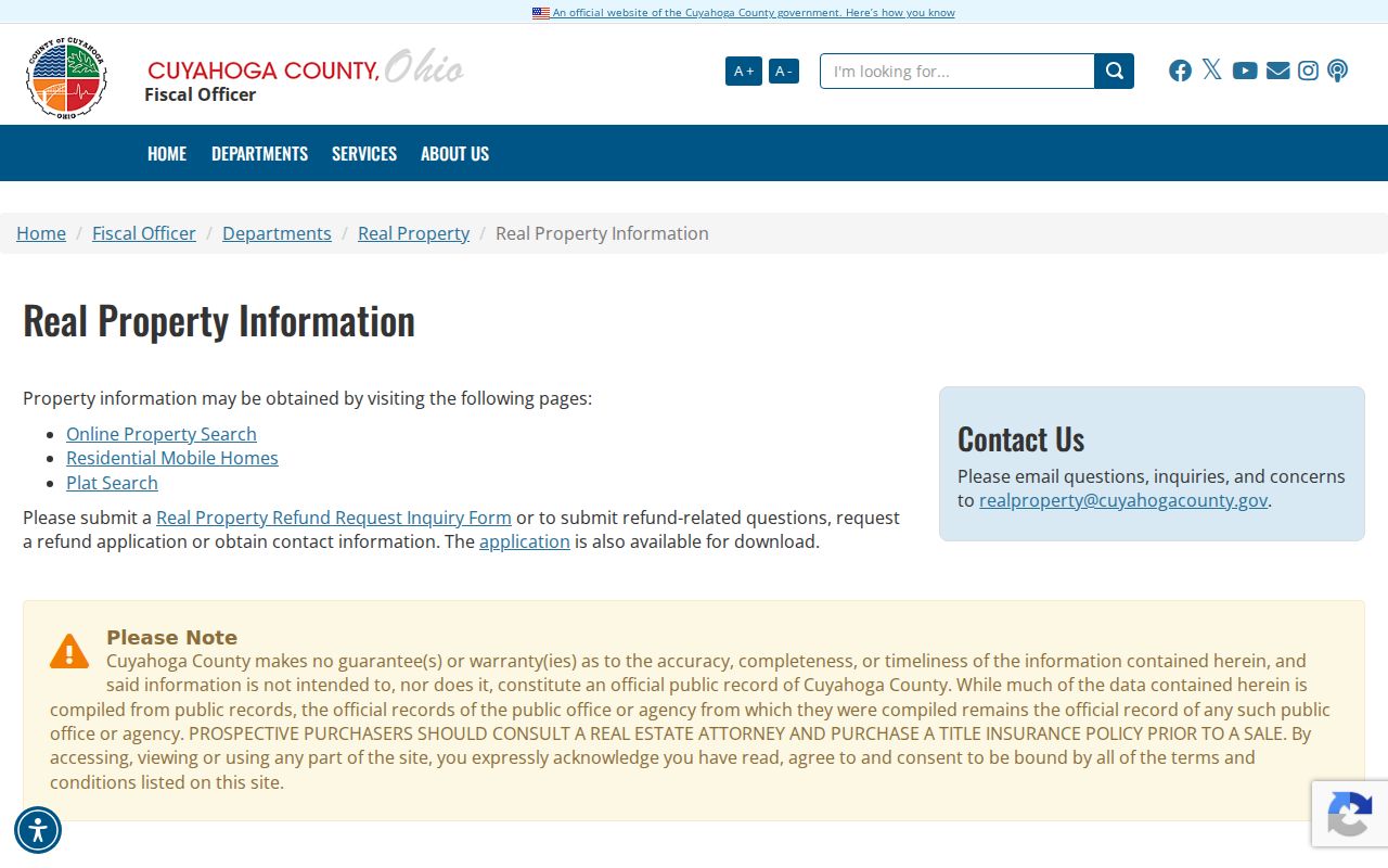
Use the property portal to anchor a street address to a parcel. It does not turn an owner or mailing field into proof that every person at the property is currently there.
Cleveland Heights Streets on Parcel Maps
After opening one parcel, View Map provides the safest way to walk a short Cleveland Heights street segment. County GIS materials identify municipality, point-parcel, air-parcel, rights-of-way, platted-centerline, and parcel layers. Pan to the next outline, open that parcel, and record the parcel ID before moving on. The map is reference data, not a survey or an official boundary determination. A mapped parcel next door can also be a different kind of property relationship than a nearby household.
For a full street log, keep the street address, parcel ID, owner field exactly as displayed, legal description, source link, and date accessed. The address and parcel number make it possible to return to the same record later. When the search becomes one individual rather than a sequence of parcels, a name-focused record process is more appropriate than extending the map outward.
Cleveland Heights Deeds by Address
The Recorded Document Search is the recorded-instrument side of the Cleveland Heights street directory. Its advanced property criteria include Party Names, Grantor, Grantee, Recorded Date Range, Instrument Date Range, Document Types, Document Number Range, Parcel ID, Volume/Page, Property Address, OCR Text, and legal-description groups. Include dashes when entering a parcel number. Start with the normal index before relying on OCR, because an image may contain a name that the structured index does not.
For an ordinary transfer, the current owner generally appears as grantee on the acquisition document and the prior owner as grantor. Search the prior owner as grantee at an earlier date, while retaining the same legal description and parcel ID. Check the document number, recorded date, instrument date, consideration, book or volume and page, document type, parties, marginal references, and attachments. A trust, estate certificate, transfer-on-death document, survivorship deed, sheriff’s deed, lien, or corrective deed can create a branch. Record the branch instead of forcing a simple sale sequence.
The Recorder’s advanced property search provides the parcel and deed criteria used for a property trail.
The advanced fields are useful when a street number changed or the address index is thin, because the parcel and legal-description paths preserve the link to the property.
Cleveland Heights Address Record Terms
Several address fields answer different questions. Keeping them apart makes a Cleveland Heights street directory result easier to verify and prevents a mailing label from being mistaken for a residence claim. These terms also help when a later deed uses subdivision language rather than the street wording on a parcel card.
- Parcel
- A county identifier for one piece of real property. It connects MyPlace, tax information, maps, and recorded-document searches.
- Situs address
- The physical location of the parcel. It is distinct from the address where tax correspondence is sent.
- Legal description
- Subdivision, lot, condominium, section, or similar formal language that identifies land. It is often the strongest bridge across changing street descriptions.
- Plat
- A recorded map that lays out lots, subdivisions, streets, or rights-of-way and can help connect an address to a legal description.
- Criss-cross directory
- An address listing in a historical directory, used to find the published occupant or business associated with a street number in that volume.
Note: Preserve the old street spelling or number exactly as printed, plus the directory or map year, whenever historic records are involved.
Cleveland Heights Street Address Bridges
Street research in Cleveland Heights often has to cross record eras. County Archives notes that street names, dimensions, property descriptions, and related data can change. Historic sources describe four-digit address numbering for many Cleveland Heights addresses, with a Cedar exception and discontinuities at municipal boundaries. Historic-district material also identifies renamed streets, including Center Avenue to Hampshire Road, Preyer to Somerton, Florence to Radnor, and Hurst to Middlehurst. The record bridge is the parcel ID, lot and subdivision description, and period plat, not an unsupported name match.
The property timeline is unusually deep: recorded documents run from 1810 to the present, historic tax records run from 1819 to 1986, original map volumes cover about 1860 to 1945, and appraisal cards cover about 1935 to 1970. City Planning reference plats are identified for 1898, 1912, 1914, 1920, and 1941. Those dated tools can show how a modern street label relates to an earlier lot or subdivision.
The Cuyahoga County Archives property-research guide explains the archival route for deeds, tax records, maps, and property context.
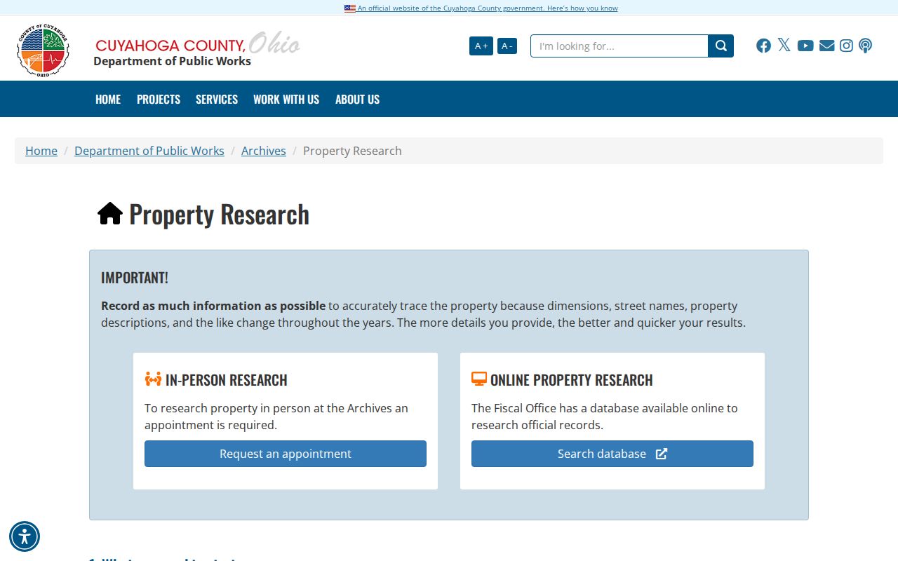
Property research at the Archives requires an appointment. Its guide directs researchers to maps, tax records, deeds, and the custodian best suited to each era.
Cleveland Heights Permit Address Trail
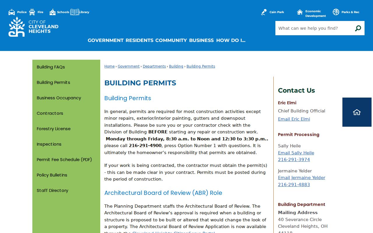
Permit material is an address history layer, not a current-person listing. Cleveland Heights does not publish a standalone public permit-search interface in the sources reviewed. The Building Department accepts applications and is open Monday through Friday from 8:30 a.m. to noon and 12:30 to 3:30 p.m. Its counter is at City Hall, 40 Severance Circle, and its general number is 216-291-4900, option 1. A focused request can identify the property address, date range, and permit type rather than asking the City to make a new directory.
The residential permit application captures the property address, owner name and contact information, contractor or agent, work description, estimated cost, and approval fields. Historic sources also identify some original permits for homes built after 1915 as a source for owner, builder, and architect names. A project applicant may not be a person who lives at the address, so the role should always remain labeled.
The Cleveland Heights Building Permits page is the official source for this address-based record channel.
For an existing municipal record, the City’s NextRequest channel also accepts a carefully described public-records request. Inspection and existing electronic copies delivered electronically are free under the City FAQ.
Cleveland Heights Street Record Sources
Address-keyed sources answer different Cleveland Heights street directory questions. Use the parcel number and legal description to connect the property record to recorded documents. Use city records for a described permit or other existing municipal file. For a historical occupant, move to the dated directory collection instead of treating a current owner field as a household census.
| Address record | What it can establish | Access path |
|---|---|---|
| MyPlace parcel card | Parcel, owner field, situs address, legal description, transfer and tax panels | City plus Owner, Parcel, or Address search |
| Map viewer | Parcel adjacency, municipal and rights-of-way context | Open a parcel and select View Map |
| Recorded documents | Grantor, grantee, dates, document number, consideration, parcel and legal description | Advanced property search or Recorder counter |
| Tax duplicates and appraisal cards | Historic owner or value trail, building characteristics, possible image clues | County Archives appointment or Fiscal Office route |
| Building files | Address, project, applicant role, approval and inspection leads | Building counter or tailored City request |
| Criss-cross directories | Historical published address listing and occupation context | Library or Archives, using the exact volume year |
The Recorder says recorded documents cover 1810 to the present. Its portal states that downloads are free, while certified copies are requested separately. The Recorder counter remains a useful fallback when a record needs verification or a search path fails.
Cleveland Heights Historical Street Listings
Criss-cross directories turn a known address into a dated published listing. The Cleveland Heights Historical Society points researchers to Cleveland Public Library History and Geography holdings for criss-cross directories and Blue Books with street listings. Cross-check the address entry in the alphabetical directory for spelling and occupation. Cleveland Heights appears in documented Cleveland-directory coverage for 1925, then shifts to a Cleveland City Directory Company five-city series beginning in 1949. A gap between those publication systems can resemble a move when it is really a change in coverage.
The County Archives lists Cleveland directories from 1837 to 1972, not inclusive, and its microfilm is self-service. For an address trail that extends beyond the current parcel record, the local library and Archives preserve the date and publication context that an online property screen lacks. The broader historical collections belong in the Cleveland Heights city directory research path.
Cleveland Heights Voter Street Limits
Ohio’s My Voter Information form requires first name, last name, and county. It is a named-person registration and precinct tool, not an address-only or block-browse form. After a result is narrowed, the form may ask for a street name. Search tips allow a derivative first name, former surname, or a previous address in another Ohio county, and an unsuccessful user is directed to the county board.
ORC 3503.13 and ORC 3503.153 govern public voter information and online disclosure. Protected identifiers, confidential voter records, and other excluded data remain unavailable. The Cuyahoga County Board of Elections offers routes for existing permitted data and has historical Lists of Electors at County Archives for 1893 to 1982. An absent public result does not establish that a person is not associated with the address.
Note: A request for an existing permissible election record should identify the record sought and respect every statutory exclusion and protected-address rule.
Cleveland Heights Street Directory Limits
A Cleveland Heights street directory cannot establish every member of a household, private utility or delivery information, school information, DMV records, or protected locations. Parcel mapping shows land records. A property owner can use a different mailing address. A directory entry records who or what was printed at an address in a particular publication cycle. Court, police, vital, and voter records each have their own access rules and exemptions.
Ohio’s Safe at Home program permits a qualifying participant to use a designated address and can support real-property confidentiality notices. Confidential voter registration removes the participant’s name, address, and precinct from public-facing voter versions. The Ohio Public Records Act also contains exemptions for protected information. A missing entry may reflect a lawful privacy protection rather than an error.
Lawful use. Cleveland Heights address records are for personal, lawful research, family history, civic transparency, and property curiosity. Do not use them to monitor, stalk, harass, intimidate, or harm anyone.